ES · EN
Contact us
The technologies we develop at Seevia and on which every solution is built.
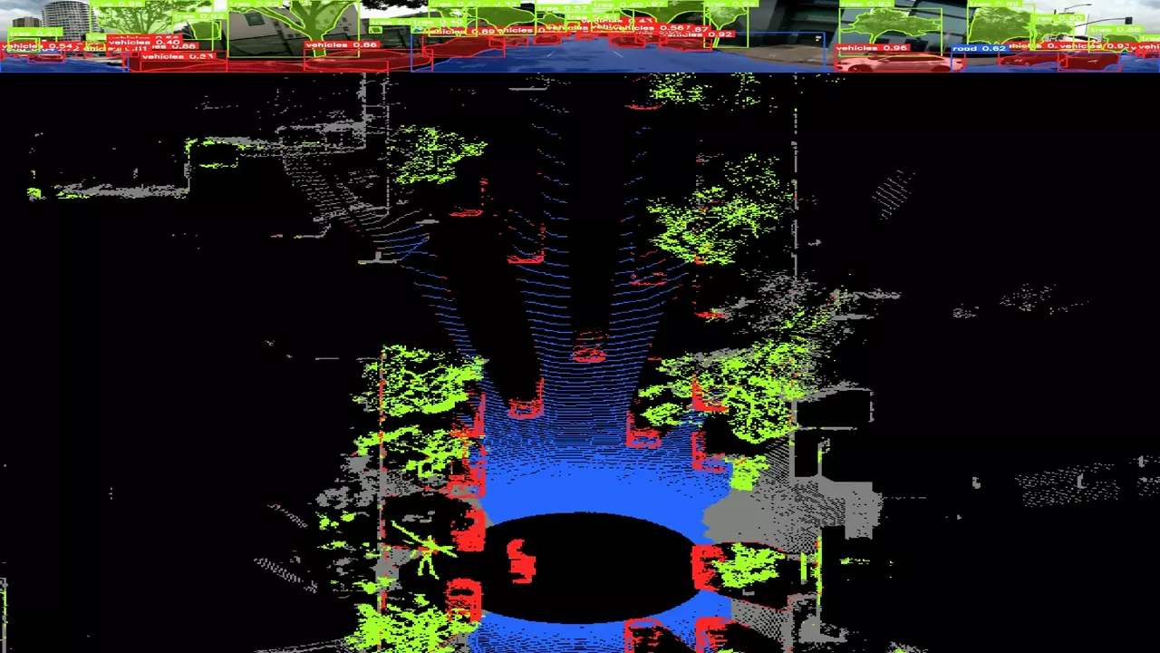
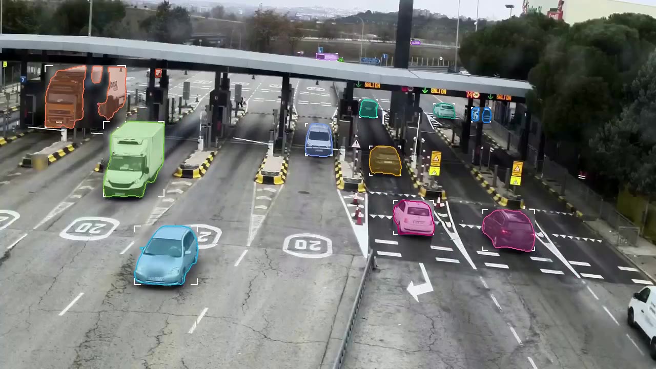
From image to position
The camera recognises and LiDAR measures.
See the technology →
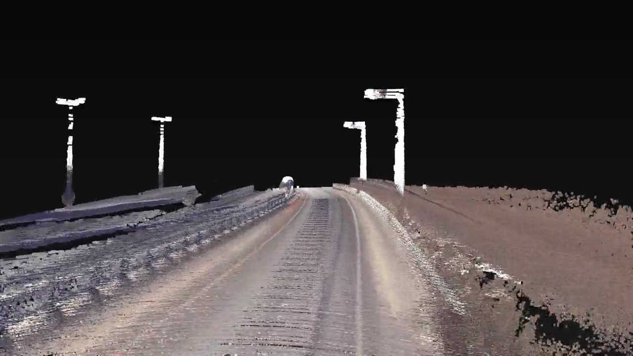
Position without satellites
Between tall buildings or under cover, GPS dies.
See the technology →
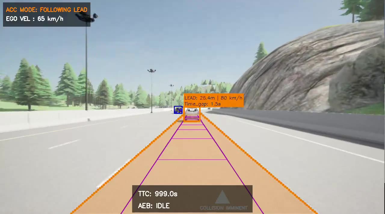
Deciding with safety layers
An autonomous vehicle must know what to do if a sensor degrades or a module fails.
See the technology →
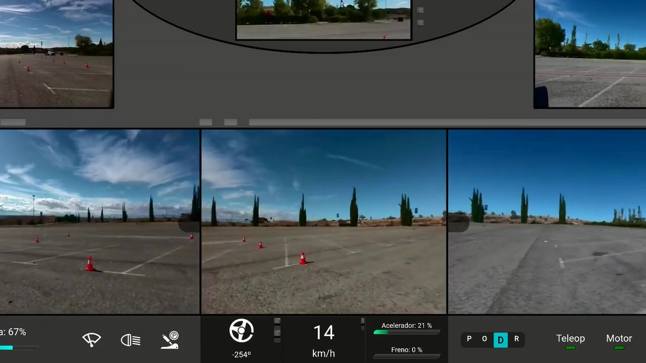
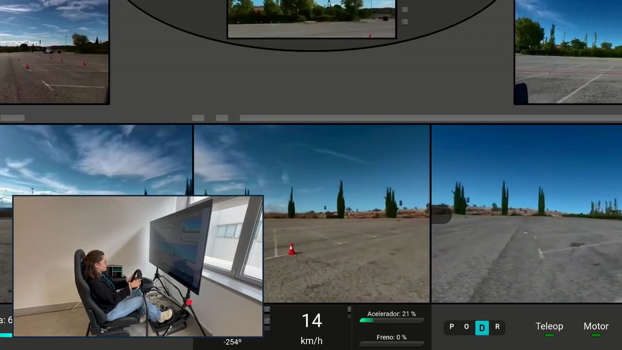
Human hand, onboard safety
An operator sees six cameras and LiDAR over 5G and drives with wheel and pedals; drive-by-wire executes.
See the technology →
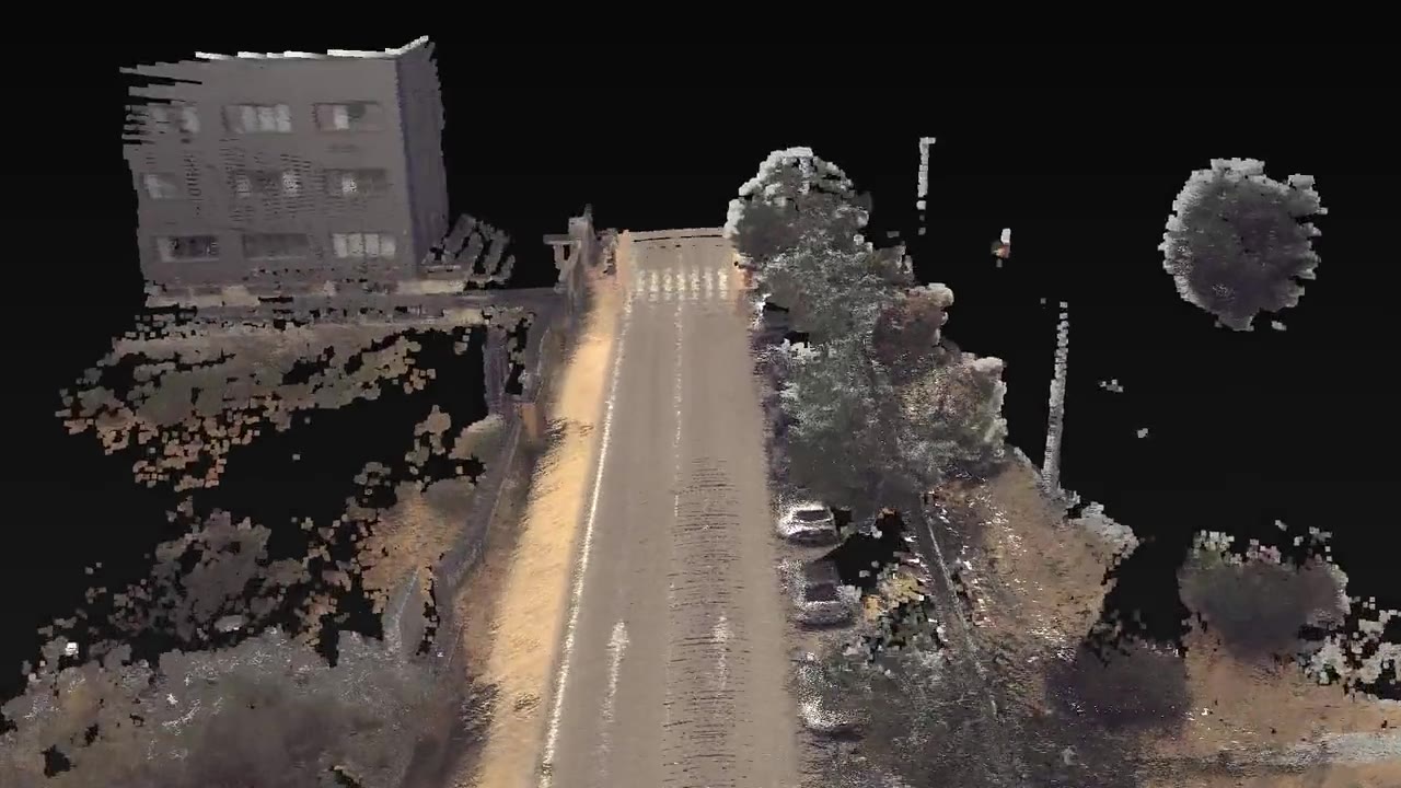
Test without risk
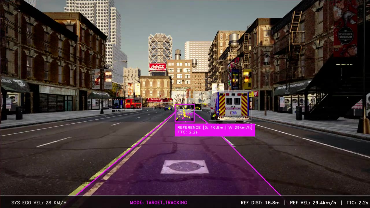
Testing on the street is slow, costly and allows few repeats.
See the technology →
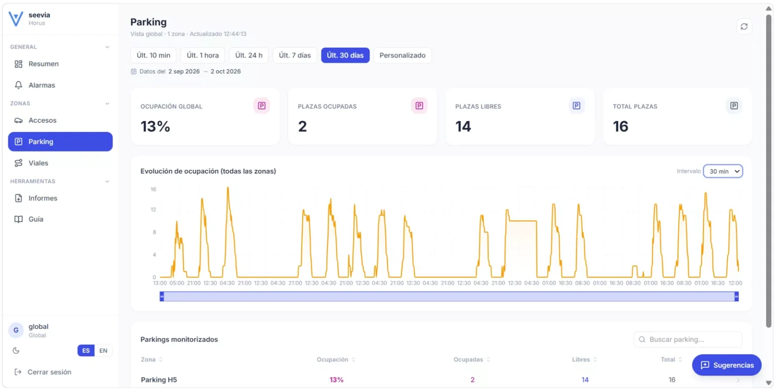
Georeference and anticipate
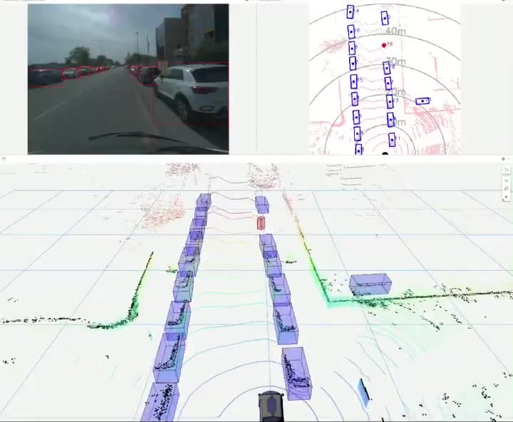
One detection in isolation is useless.
See the technology →
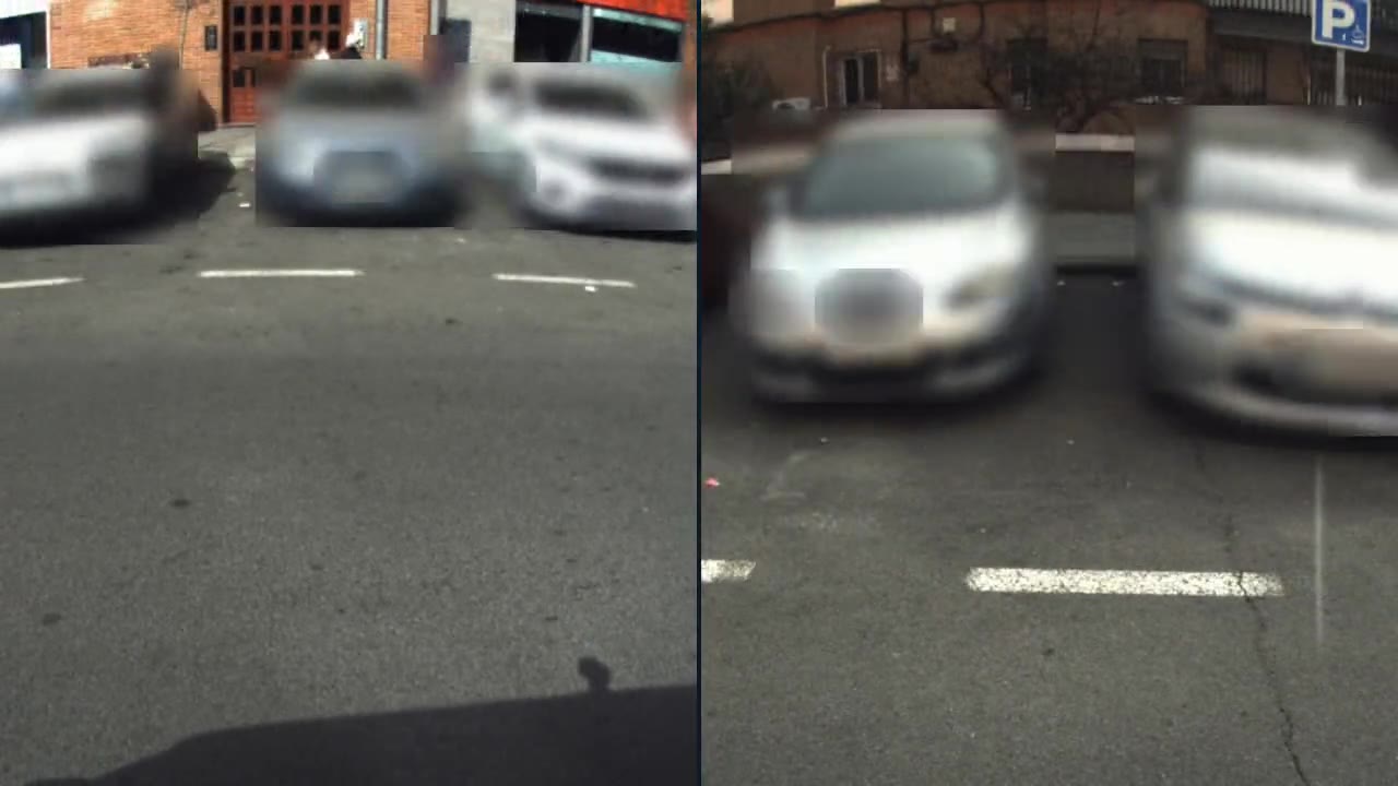
Anonymise on board
A street camera sees people even if you only count containers.
See the technology →
Each platform brings several technologies together with the equipment each project needs.
01
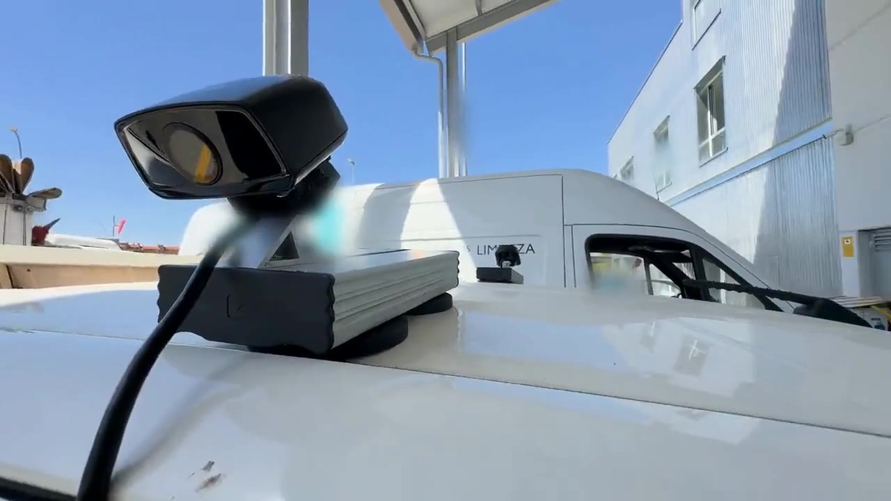
Cameras, LiDAR, radar and GNSS/IMU: we integrate, synchronise and calibrate them.
02
On-board processing (edge computing), ECUs, vehicle interfaces (CAN, drive-by-wire) and 4G/5G communications.
03
Our own software for perception, detection, tracking, sensor fusion and localisation.
04
Mobile mapping, 3D reconstruction, HD maps for autonomous vehicle navigation and localisation, automated inventory and simulation.
05
Alerts, dashboards, APIs and integration with your systems.
Tell us your case and we will look at it with your data.