
ES · EN
Contact us
Seevia, a Physical AI engineering companyWe integrate the sensors each project needs, develop the software that interprets what they capture and deliver data ready for decisions, adapted to each use case.









At Seevia we are experts in
01
Cameras, LiDAR, radar and GNSS/IMU: we integrate, synchronise and calibrate them.
02
On-board processing (edge computing), ECUs, vehicle interfaces (CAN, drive-by-wire) and 4G/5G communications.
03
Our own software for perception, detection, tracking, sensor fusion and localisation.
04
Mobile mapping, 3D reconstruction, HD maps for autonomous vehicle navigation and localisation, automated inventory and simulation.
05
Alerts, dashboards, APIs and integration with your systems.
And we apply it to
We make urban services more efficient.
We help city councils, urban service companies and industrial sites know the state of streets and facilities and act sooner on mobility, waste, green areas, street furniture and roads, with fixed or on-board sensors.
See it in the city →We optimise their use and improve their maintenance.
We help road authorities and concession holders, ports and logistics hubs optimise the use of their infrastructure and improve the return on their investment: we automate prevention and maintenance, and monitor road access points and other spaces.
See it in the port →We enable autonomous and connected mobility.
We help manufacturers and operators bring autonomous and connected driving to their vehicles: from prototype to real vehicle, teleoperation and remote assistance, and ADAS systems.
See it on the road →A street seen the way a city council sees it: what works and what needs attention, with sensors on the fleet already on the road or at fixed points.
See solutions for cities →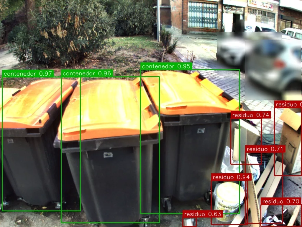
The side camera on the collection truck checks every container site along the route: it recognises the containers, detects the waste left around them and sends it to the operations centre as a georeferenced alert.
See the solution →
The vehicle's LiDAR and camera platform turns the route into an inventory: every tree georeferenced and measured on the 3D model.
See the solution →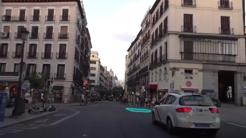
On the same drive, Seevia ATLAS detects cracks, alligator cracking and potholes on the carriageway, and broken paving on the sidewalk: every defect measured, graded by severity and on the map.
See the solution →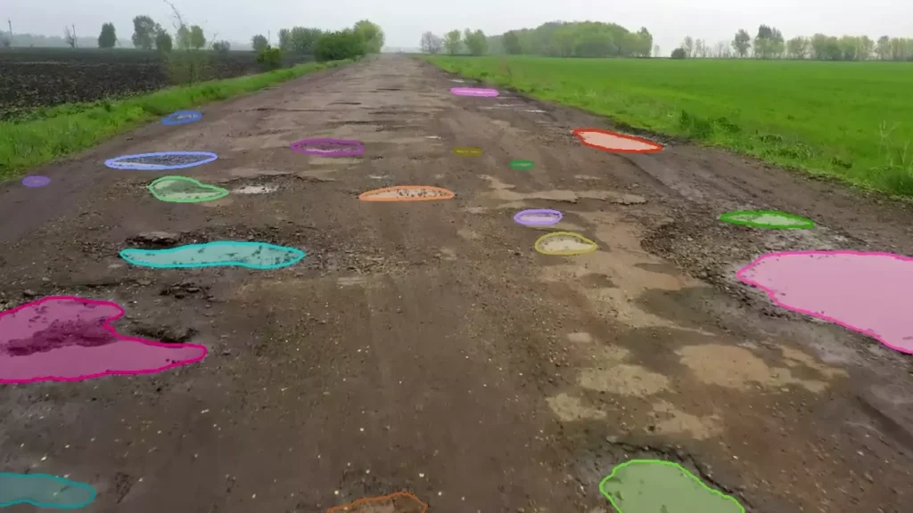
Street lights, signs and furniture are detected and logged on the same route, with their position and the details of each asset.
See the solution →
A camera on a street light turns the street into data: parking occupancy in real time, with dashboards, alerts and APIs.
See the solution →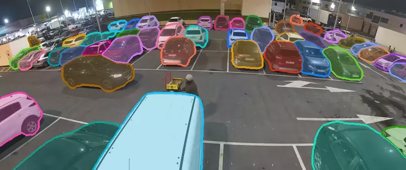
Every vehicle that crosses the virtual line is counted and tracked with an anonymous identifier, in a traceable, auditable way.
See the solution →
The gate, the terminal yard and the ferry quay, with fixed cameras and processing on site or in the cloud.
See solutions for infrastructure →
At the entrance gantry every vehicle is counted and classified by lane: trucks, vans and cars.
See the solution →
From a yard mast, every truck is followed through the terminal, with its identifier and speed.
See the solution →
When the ferry berths, every vehicle coming down the ramp is detected and classified: the port knows what has been unloaded and when.
See the solution →
We integrate sensors, computing and software into the vehicle: our own perception, digital twins, simulation of ADAS and autonomous driving, and teleoperation over 5G.
See solutions for automotive →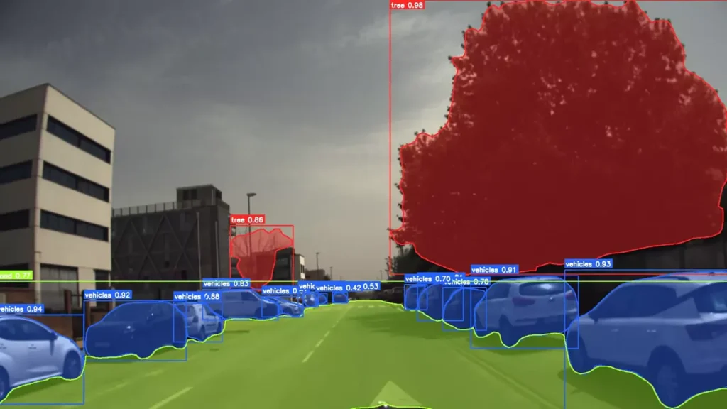
Full autonomous driving stack: perception, localisation, navigation and safety, for L7e platforms, shuttles, cars and buses.
See the solution →
Custom developments aligned with EU regulations: ACC and AEBS with LiDAR or radar, LKA and parking assistance, with ASIL-B safety functions on ECUs.
See the solution →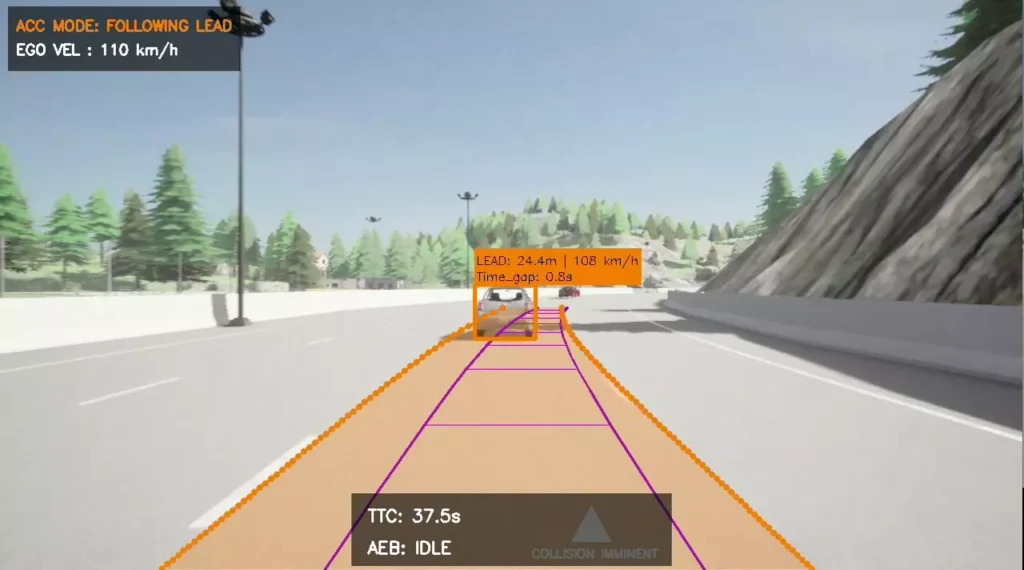
Remote driving of drive-by-wire vehicles over public and private 5G from a control station, with datalogger and active monitoring.
See the solution →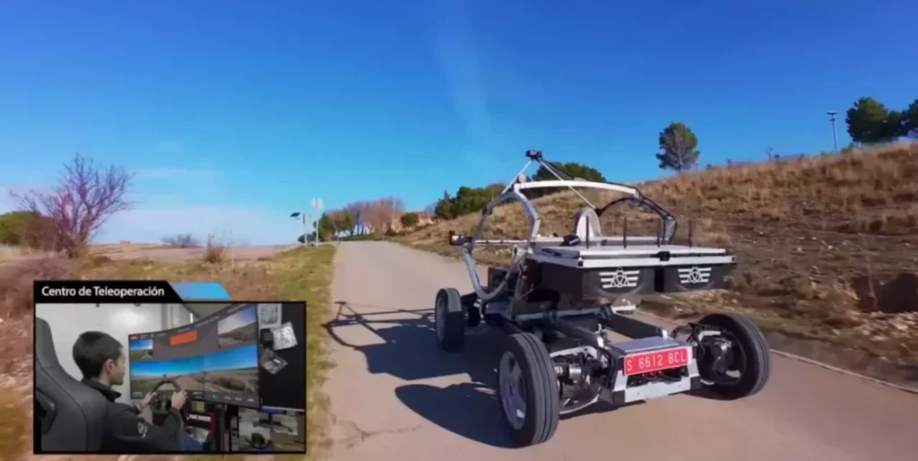
What we solve, the platforms we build on and where it already works.
Tell us your case and we will look at it with your data.