ES · EN
Contact us
For cities, infrastructure and automotive.
We integrate the sensors each project needs, develop the software and deliver the data. We design custom solutions for each use case.
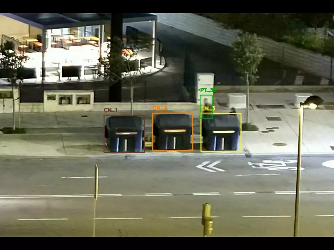
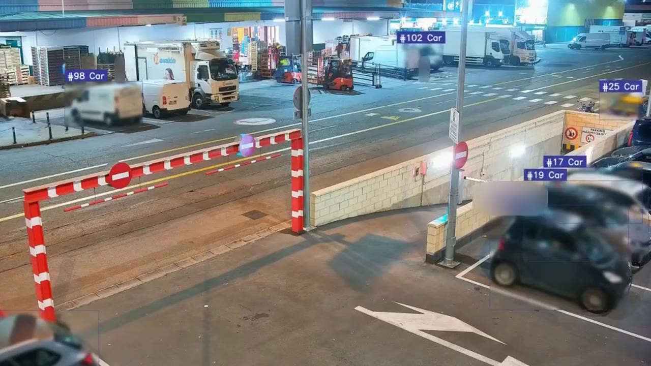
We help city councils, urban service companies and industrial sites know the state of streets and facilities and act sooner on mobility, waste, green areas, street furniture and roads, with fixed or on-board sensors.
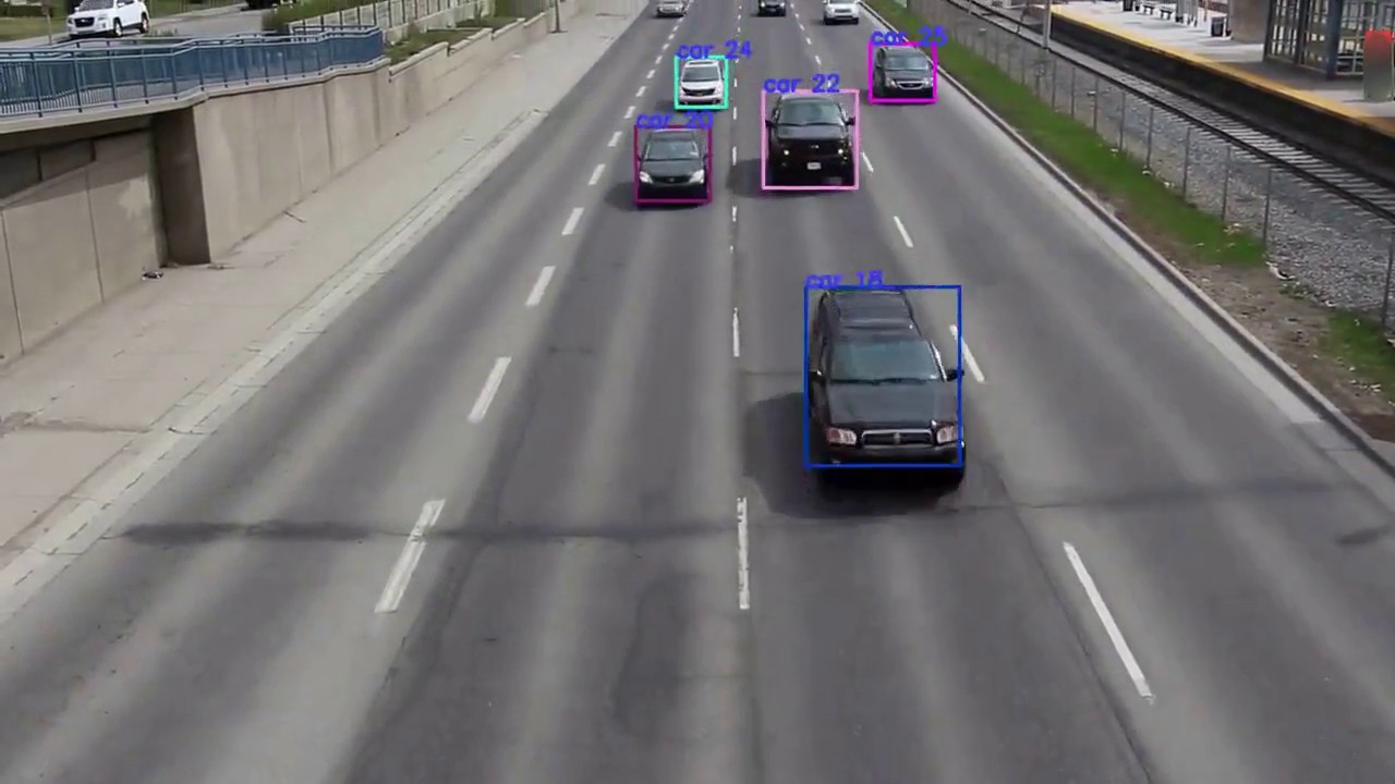
We help road authorities and concession holders, ports and logistics hubs optimise the use of their infrastructure and improve the return on their investment: we automate prevention and maintenance, and monitor road access points and other spaces.
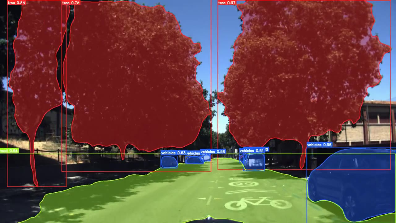
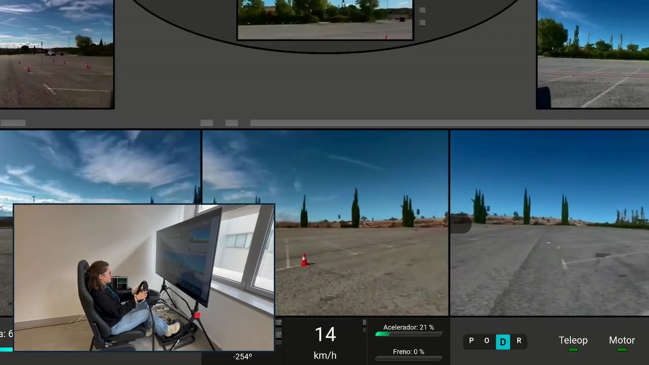
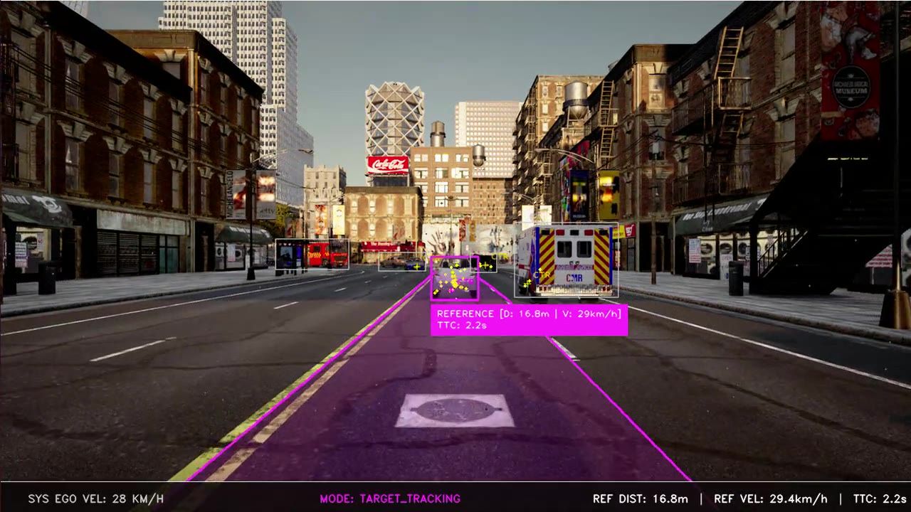
We help manufacturers and operators bring autonomous and connected driving to their vehicles: from prototype to real vehicle, teleoperation and ADAS.
01
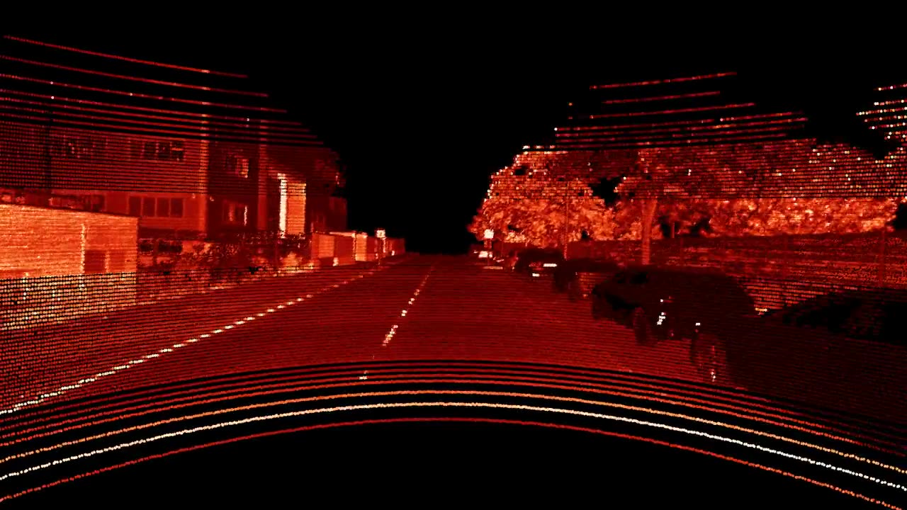
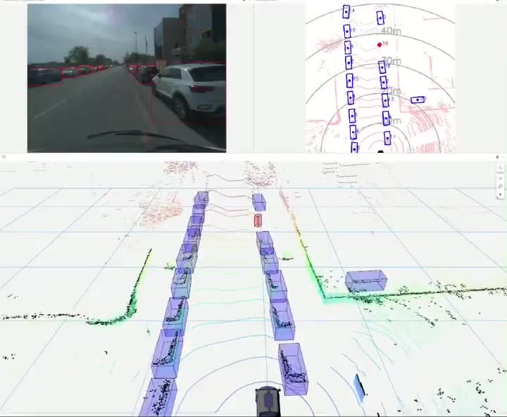
Cameras, LiDAR, radar and GNSS/IMU: we integrate, synchronise and calibrate them.
02
On-board processing (edge computing), ECUs, vehicle interfaces (CAN, drive-by-wire) and 4G/5G communications.
03
Our own software for perception, detection, tracking, sensor fusion and localisation.
04
Mobile mapping, 3D reconstruction, HD maps for autonomous vehicle navigation and localisation, automated inventory and simulation.
05
Alerts, dashboards, APIs and integration with your systems.
Tell us your case and we will look at it with your data.