
MapPro
Seevia Auto Product
Precision Mapping for Autonomous Navigation
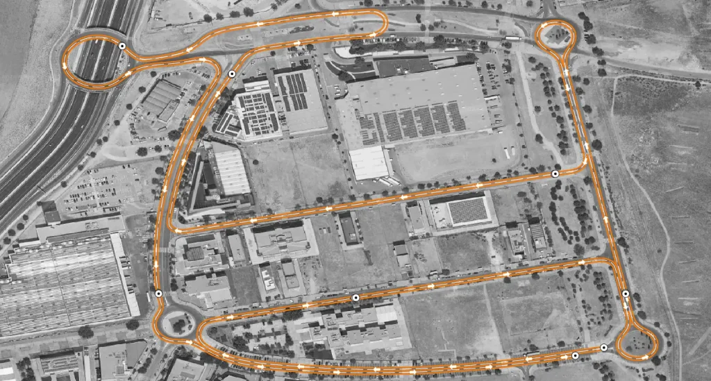
Seevia MapPro revolutionizes autonomous vehicle navigation by creating highly accurate, customizable maps using advanced sensor technology. Whether you’re navigating complex urban environments or vast rural landscapes, Seevia MapPro ensures seamless scalability and enhances both safety and operational efficiency for autonomous vehicle (AV) systems.
Accurate, Scalable, and Customizable Mapping
With Seevia MapPro, precise mapping becomes effortless. Our solution leverages state-of-the-art sensors to generate detailed maps that are fully customizable to meet specific project needs. These maps are built for scalability, allowing seamless integration across diverse environments, ensuring your autonomous vehicles navigate safely and efficiently.
Diverse Information Integration for Enhanced Mapping
Seevia MapPro goes beyond simple road layouts. It integrates a wide range of data points to provide a comprehensive map that includes:
Detailed 3D maps with real textures for creating digital twins, allowing virtual analysis and testing of environments.
Capture vital road infrastructure elements such as traffic signs, traffic lights, and road defects for better navigation and safety management.
Provide clear, machine-readable maps that outline road rules, lanes, and driving paths to ensure safe and efficient AV operations.
Key Features of Seevia MapPro:
Create precise, real-world maps that ensure the autonomous system's reliable navigation.
Tailor maps to your project’s needs while ensuring the flexibility to scale across different environments and regions.
Leverage artificial intelligence for faster map creation and real-time updates that improve navigation and safety.
Diverse Information Integration for Enhanced Mapping
Seevia MapPro goes beyond simple road layouts. It integrates a wide range of data points to provide a comprehensive map that includes:
Detailed 3D maps with real textures for creating digital twins, allowing virtual analysis and testing of environments.
Capture vital road infrastructure elements such as traffic signs, traffic lights, and road defects for better navigation and safety management.
Provide clear, machine-readable maps that outline road rules, lanes, and driving paths to ensure safe and efficient AV operations.
Want to see our solutions in action?
Request a customized product demonstration and discover how our technology can take your company to the next level.