
Localization
Seevia Technologies
Accurate Localization for Autonomous Systems
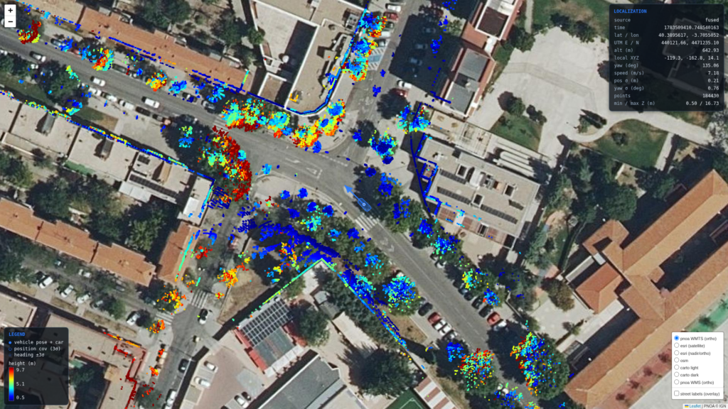
Localization is the core technology that enables ground vehicles to precisely determine their position and orientation in real time. Seevia seamlessly integrates data from multiple sensors—such as GNSS, LiDAR, IMUs, and cameras—to provide vehicles with a dynamic understanding of their exact location, ensuring continuous awareness of their surroundings even in complex environments.
Why Localization Matters
Accurate and real-time
Safely navigation
Avoid obstacles
Adhere to traffic rules
What Seevia Offers
Seevia offers a portfolio of highly accurate localization solutions tailored for diverse environments—urban, rural, indoor, or outdoor, by combining high-precision GNSS sensors, sensor fusion with odometry, LiDAR, and advanced mapping algorithms.
In Seevia, we provide vehicles with real-time, centimeter-level positioning, even in challenging areas with limited GNSS coverage.
Key Technical Features
Combines data from GNSS, LiDAR, IMUs, wheel odometry, and cameras to deliver highly accurate and redundant localization.
Our localization solutions incorporate each vehicle's physical parameters and constraints to precisely predict its position in real-time.
We offer map-less solutions that operate independently of maps and are not bound to them or map-enhanced solutions that significantly improve reliability and precision within specific areas.
Provides consistent performance even in environments with limited GNSS coverage, such as tunnels, dense urban areas, and indoor spaces.
Want to see our solutions in action?
Request a customized product demonstration and discover how our technology can take your company to the next level.